Geographic Information System:
Manage All Your Real Estate Activities on a Single Interface
For all real estate and Facility Management managers and professionals, whether they are decision-makers or service providers, this tool allows you to manage your real estate activities, whether they involve new projects, expansions, relocations, or acquisitions, all from a single interface.
View Use Case
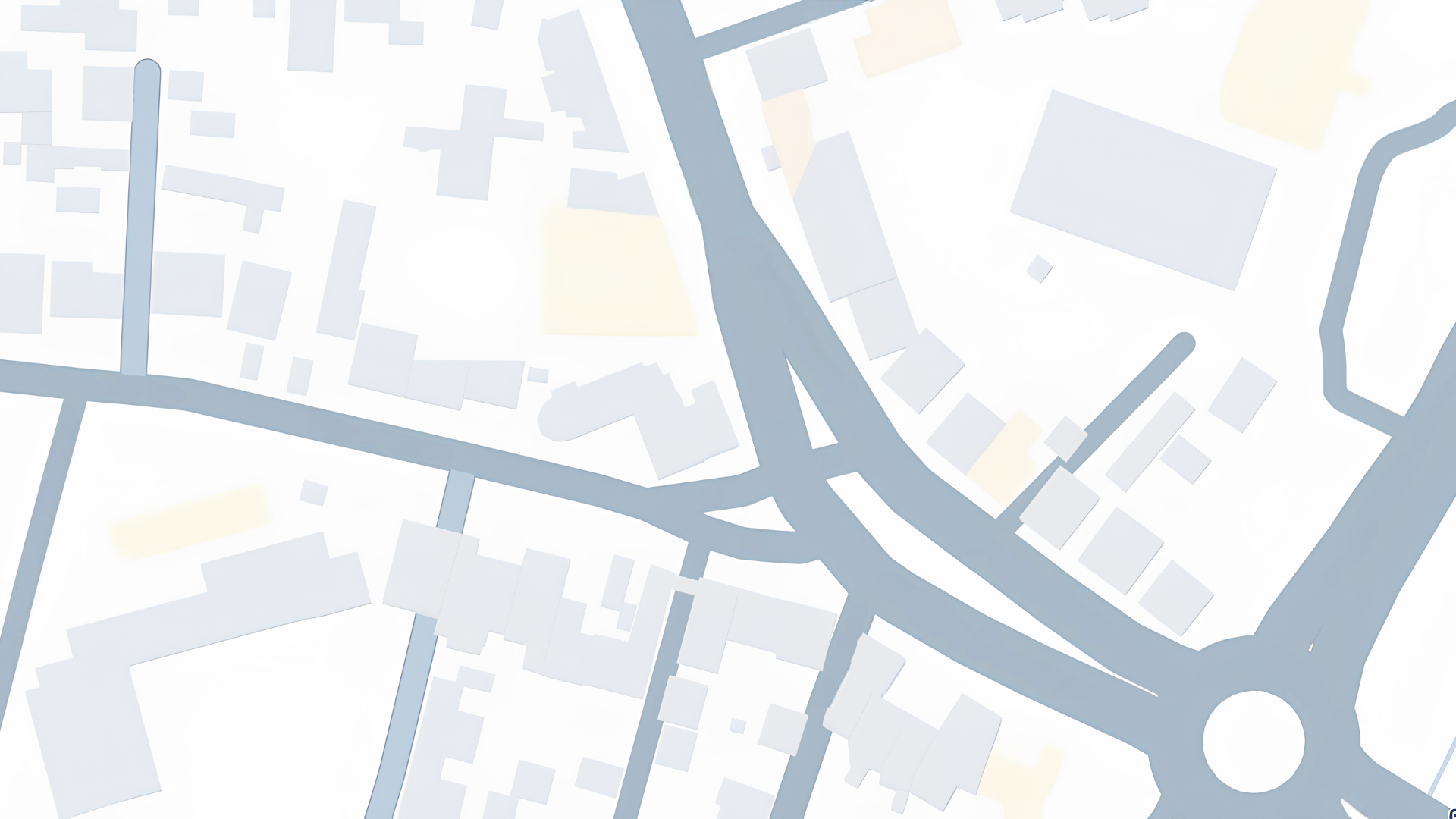


Visualize and Map Your Real Estate Portfolio
- Map your entire real estate portfolio for real-time monitoring.
- Efficiently manage your resources
- Optimize your strategic decisions
- Maximize the value of your real estate assets
A Geographical Vision for Strategic Decisions
- Centralize all key geographical information and analyze locations, infrastructures, and available resources.
- Quickly identify opportunities to optimize the use of your assets.
- Proactively plan your real estate investments for enhanced asset management.

Maximize the Efficiency of Managing Your Real Estate Assets
Access strategic and precise data
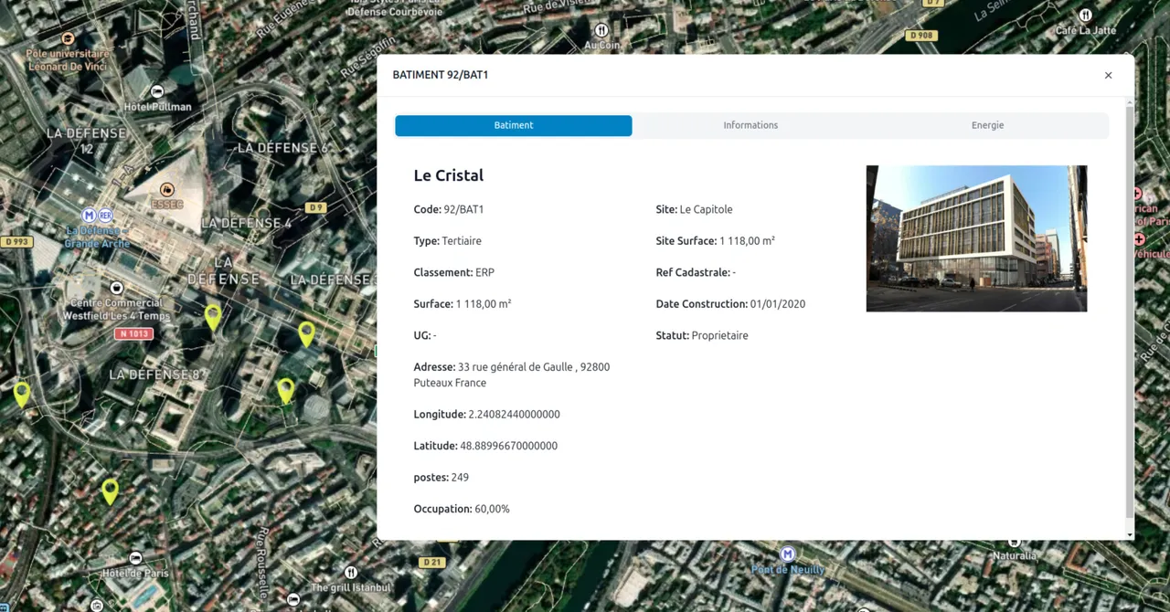
Centralized Management
Access all information related to your buildings on a centralized platform.
Cadastral Data
Utilize cadastral information to assess the value of your real estate assets.
Energy Networks
Simplify operational management by quickly accessing data on electrical and gas networks.
Communication Networks
Instantly check the availability of Internet and mobile connections.
Ecological Transition
Identify electric vehicle charging stations to meet sustainable mobility needs and ecological requirements.
Environmental Risks
Locate contaminated sites for proactive management of environmental risks.
Enhance Your Data for Strategic Decision-Making
A flexible solution to meet your needs. You have the flexibility to choose the solution that suits you: opt for the Business Intelligence Dataviz, Dataviz+, or Geographic Information System, or combine the options for a comprehensive solution.
Geographic Information System
Manage your real estate activities on a single interface
Comprehensive data on all buildings in France
Detailed information on cadastral parcels
Visualize electrical networks
Visualize gas networks
Information on Internet connections and mobile bases
Location of charging stations
Identification of polluted sites